

The opening paragraphs of Last Laugh depicts the main character, Robbie, biking up a hill to visit his best friend, Kevin. When he took a break half way up the steepness, he looked back at the town, picking out his home, his school and downtown.
The scene sprung from a writing workshop, where we were instructed to draw a map of where most of our story’s action takes place. We were to note natural meeting places (such as the gas station in F. Scott Fitzgerald’s Great Gatsby) and natural barriers that separate characters (the water separating Jay Gatsby in nouveau riche West Egg from Daisy Buchanan’s home in old-monied East Egg).
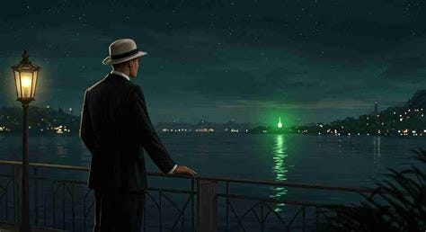
This exercise transformed and deepened my novel. I knew Robbie lived in a middle-class neighborhood, and Kevin in a wealthier part of town. But I hadn’t visualized their homes, settings, or what separated them geographically.
If you’re working on a story — fict or nonfic — you might try physically drawing a map, marking natural meeting places and obstacles between one place to another. Then sketch a scene imagining granular descriptions of traveling (by foot, bicycle, car, or bus) from one character’s home or favorite hangout to another’s.
And don’t be shy about writing in the comments about how this helped (even if it didn’t), and feel free to include an excerpt of a scene that includes geographical details.